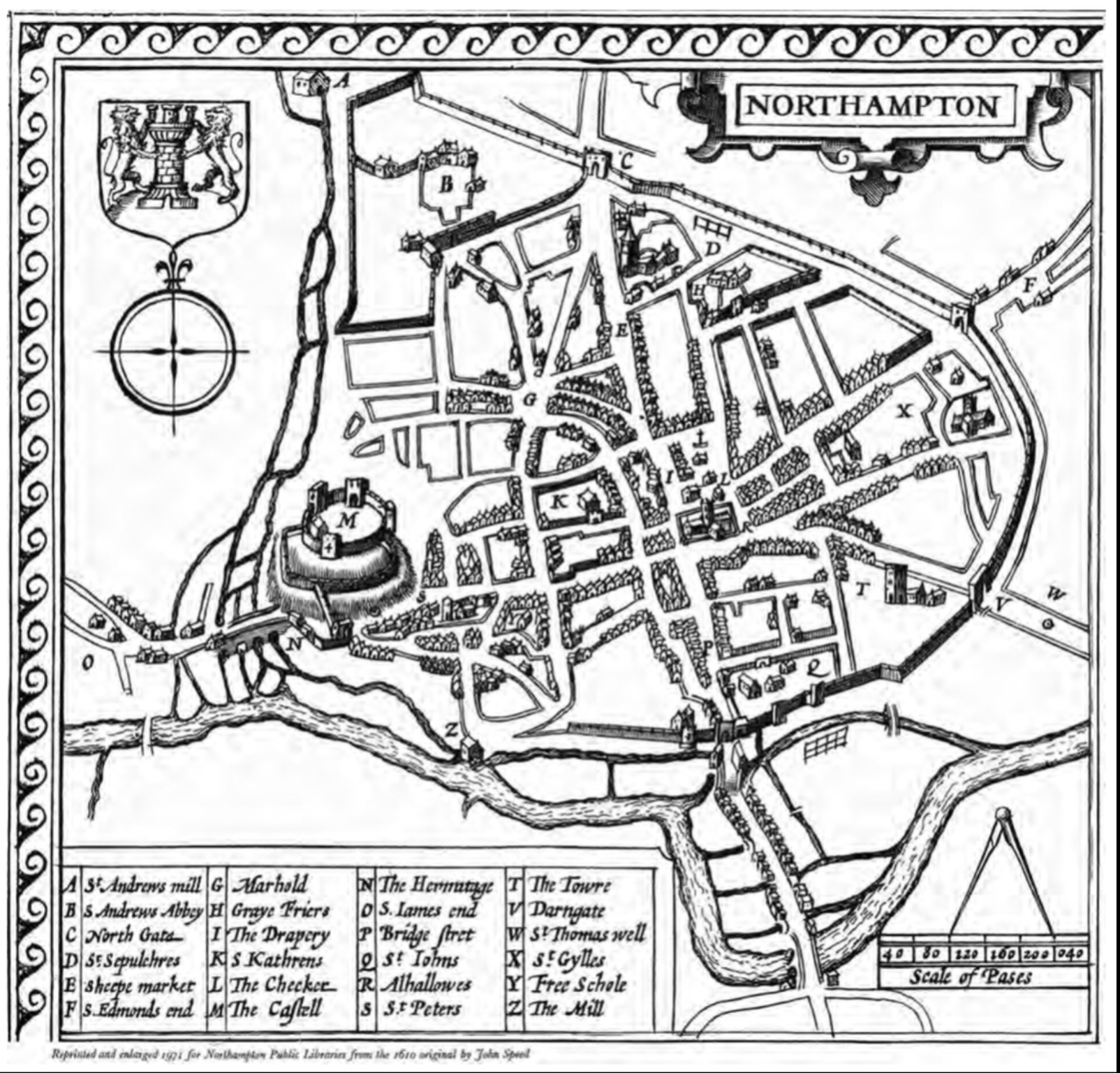
A 1610 map of Northampton by John Speed. St Peter’s is marked by the ‘S’ to the south of castle in the bottom left corner.
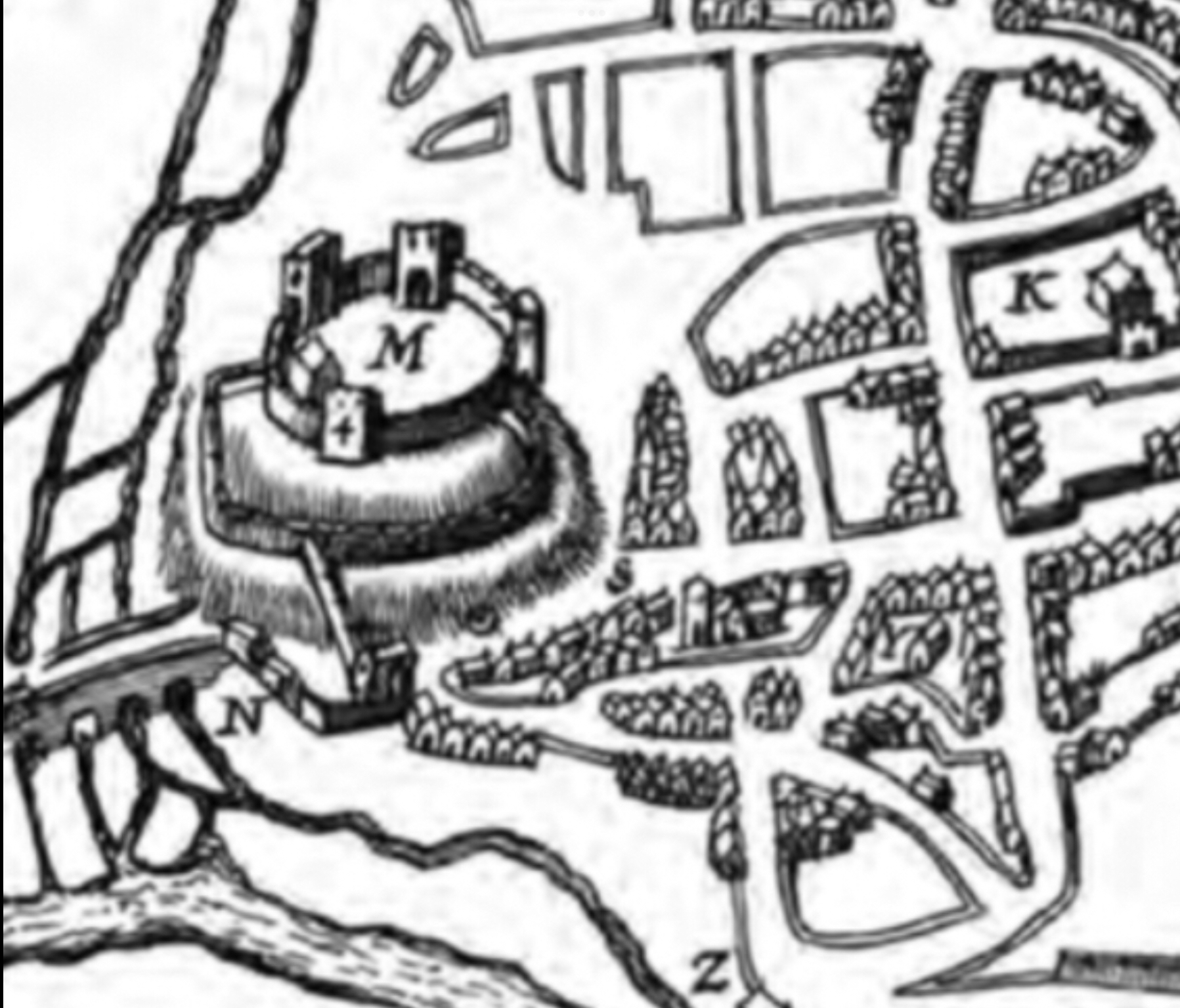
A section of John Speed’s 1610 map of Northampton showing St Peter’s to the south east of the castle
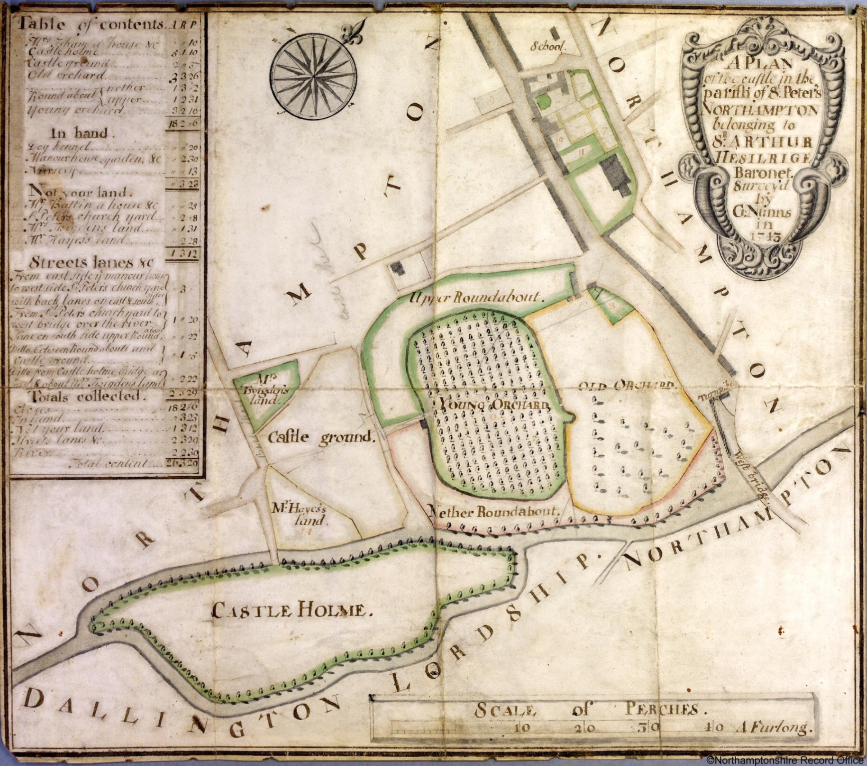
A survey of the former castle grounds for Sir Arthur Hesilrige in 1743. St Peter’s is located in the top right corner.
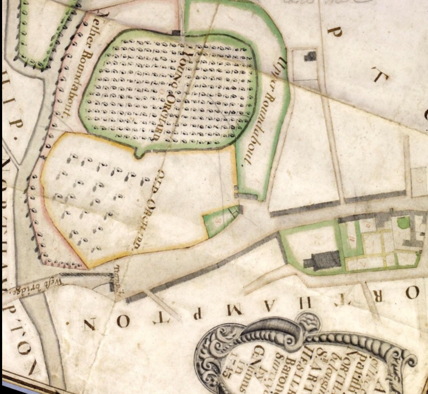
The 1743 Hesilrige survey rotated to the north. St Peter’s is located in the centre of this plan.
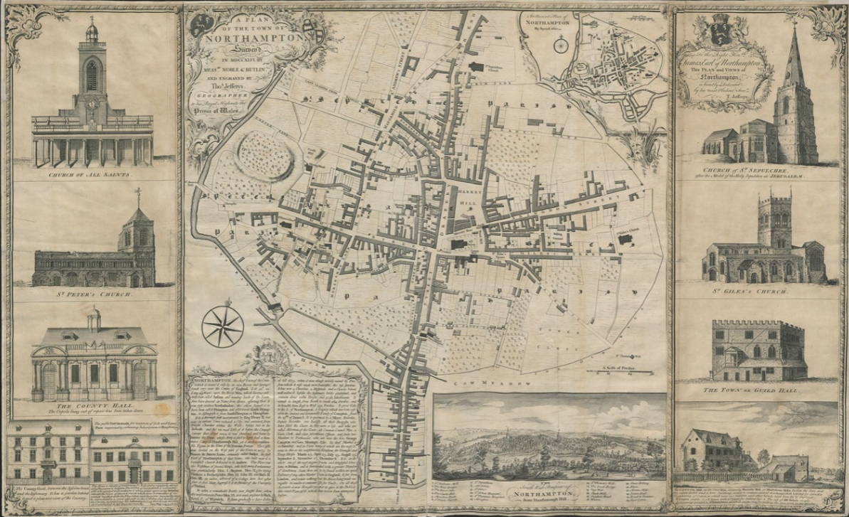
Noble and Butlin’s plan of Northampton, 1747.
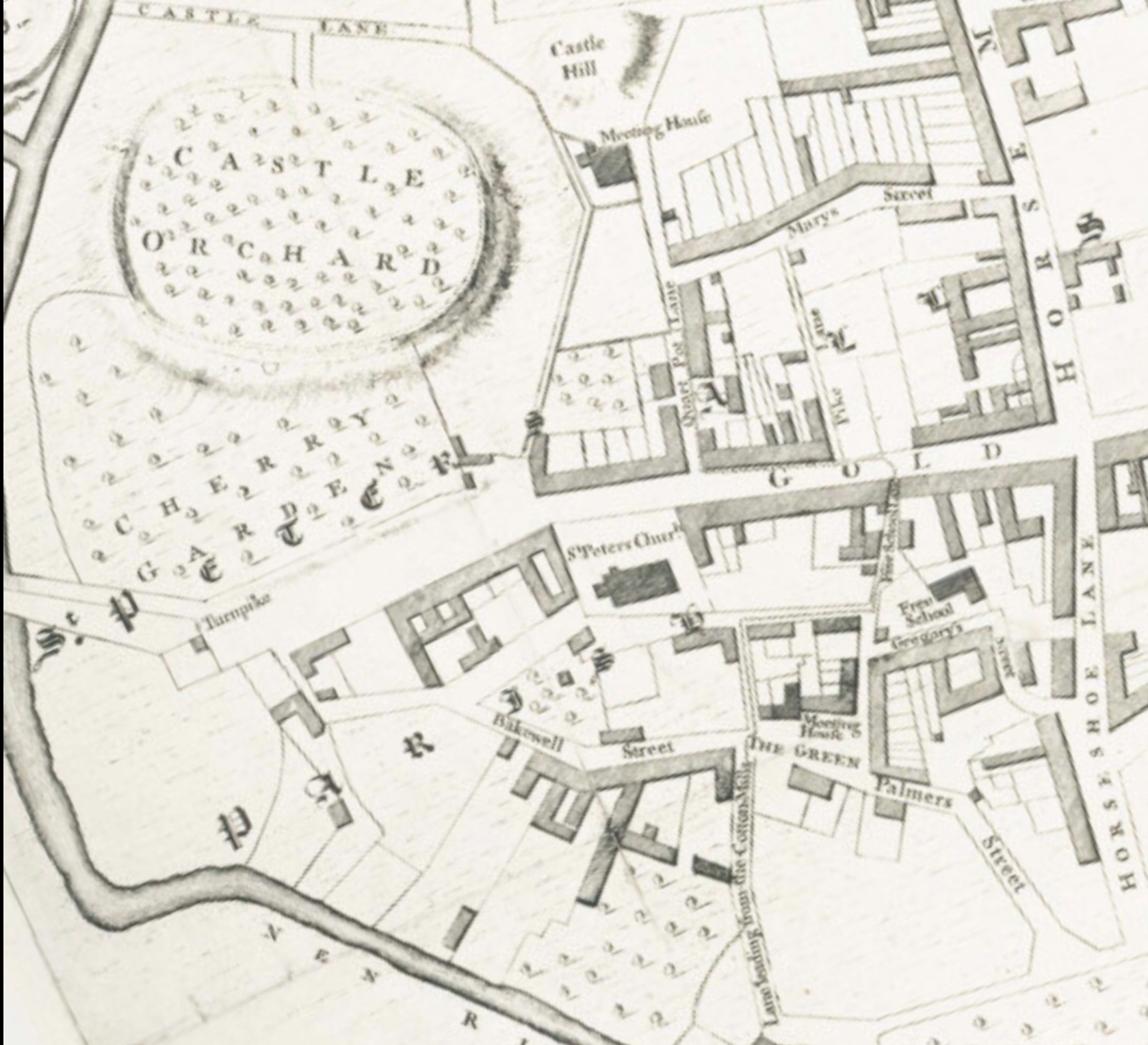
An enlarged section of Noble & Butlin’s 1747 plan showing the proximity of St Peter’s to the castle site.
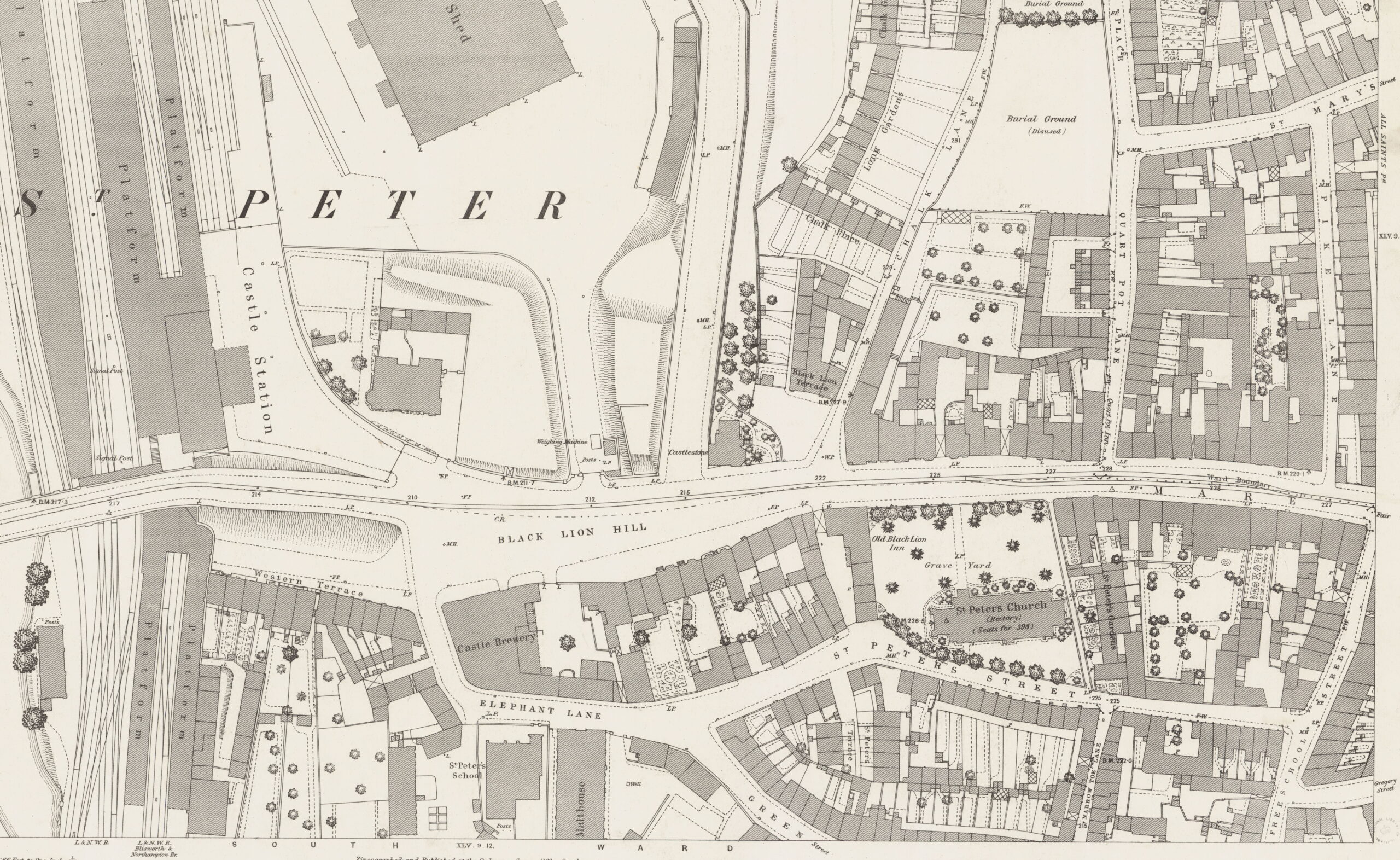
An 1884 Ordnance Survey 1:500 map
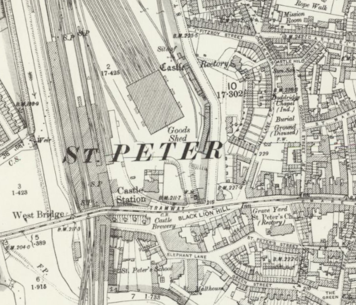
An 1899 25″ Ordnance Survey map. The former castle site is now occupied by the London & North Western Railway’s Castle station and goods shed.
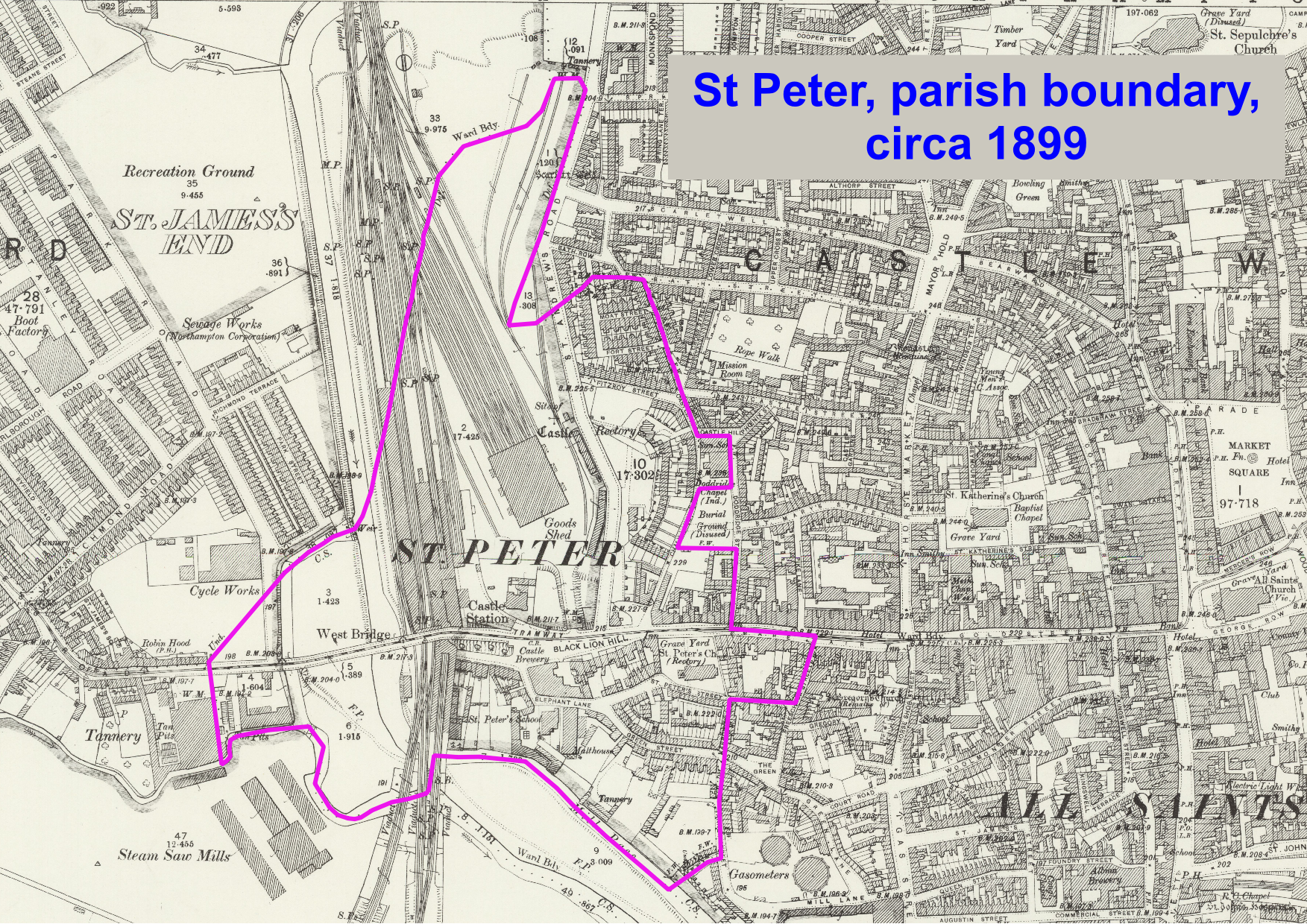
St Peter parish boundary, circa 1899